-
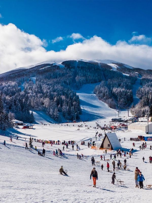
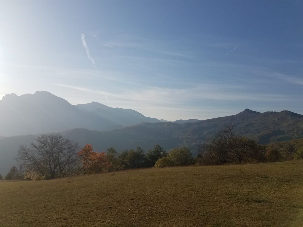
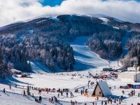
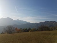
Bjelašnica is a mountain in central Bosnia and Herzegovina. It is found directly to the southwest of Sarajevo, bordering Mt.Igman. Bjelašnica’s tallest peak rises to an elevation of 2067 meters (6782 feet).
Only 20 minutes outside of Sarajevo, it is a popular tourist attraction for hiking and skiing.
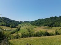
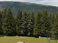
Bjelašnica’s base is largely forested, however there are no trees above the 1500 meter (4921′) tree line. There are numerous trails set up and maintained by local mountain clubs that lead to the bald peaks higher up.Igman (pronounced [îɡman]) is a mountain in central Bosnia and Herzegovina. It is found directly to the southwest of Sarajevo, bordering Bjelašnica mountain and the city of Ilidža. Igman’s highest point, Crni vrh, is 1502 meters (4928 feet), making it the shortest of the Sarajevo mountains.
Igman Olympic Jumps in the Malo Polje area hosted the ski jumping and the ski jumping part of the Nordic combined events. Meanwhile, the Veliko Polje hosted the biathlon, cross-country skiing, and the cross-country skiing part of the Nordic combined event. [1] There are numerous structures on Igman dating from this time, although many still bear the scars of the 1992-1995 conflict.Trebevic is known for its natural beauty and panoramic views of Sarajevo. It was a key venue during the 1984 Winter Olympics, hosting the bobsleigh and luge events.
Cable car is available from the Old city to the mount of Trebevic.
JAHORINA is a mountain in south-eastern Bosnia and Herzegovina, located in Pale, Republika Srpska. It borders fellow Olympic mountain Trebević. Jahorina is 1913 meters (6276 feet) tall, making it the second tallest of Sarajevo’s mountains, behind Bjelašnica.
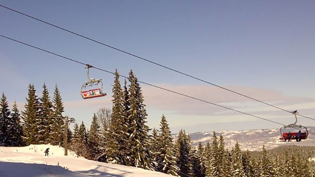
The ski lifts climb to 1,894m with fabulous views towards Sarajevo. The slopes of Jahorina are covered in tall pines till about the 1,500m mark.
From there the mountainside is relatively bare with some thick patches of klek, a high-altitude pine that doesn’t grow higher than 2m. Jahorina remains a popular destination for skiing, hiking, and sledding, with over 40 km of ski trails and modern facilities.* If only one person price is 85 EURO
RECOMMENDED TO HAVE:
- bottled water
* walking/hiking shoes
* layered clothes
* camera
* hats
* tip
TOUR OF THE MOUNTAINS - Bjelasnica, Igman, Trebevic, Jahorina
- bottled water
Included/Excluded
- Transportation, guide


